
Great tool for Territory Management
We use Xactly AlignStar for our territory management. Honestly, AlignStar is a very powerful tool but we only are using a percentage of …
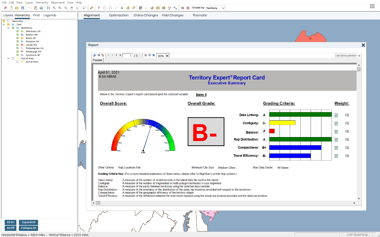
Xactly AlignStar® utilizes a map-based interface to enable territory planning that equips sales organizations to build and optimize balanced territories that align with company goals.
Products that are considered exceptional by their customers based on a variety of criteria win TrustRadius awards. Learn more about the types of TrustRadius awards to make the best purchase decision. More about TrustRadius Awards
Xactly AlignStar® utilizes a map-based interface to enable territory planning that equips sales organizations to build and optimize balanced territories that align with company goals.
3 people also want pricing
SAP SuccessFactors is a suite of HR/HCM products covering these capability areas: core HR and payroll, recruiting and onboarding, learning and development, performance and compensation management, workforce analytics and planning, and employee experience management.
Mediafly Intelligence360, based on InsightSquared's solution acquired by Mediafly in 2021, is a sales analytics and development platform that also supports demand generation analytics and SaaS reporting. It is designed for providing insights into sales processes, closing rates, pipeline and revenue…


| Deployment Types | Software as a Service (SaaS), Cloud, or Web-Based |
|---|---|
| Operating Systems | Unspecified |
| Mobile Application | No |
| Supported Countries | United States Canada Australia New Zealand Western Europe (Austria, Belgium, Denmark, Finland, France, Germany, Greece, Iceland, Ireland, Italy, Luxembourg, Netherlands, Norway, Portugal, Spain, Sweden, Switzerland and United Kingdom) |
| Supported Languages | English, French, German, Italian, Spanish |